Following the Fever: How Disease Fear Built America's Mountain Highway System
The Roads That Fear Built
Drive the Blue Ridge Parkway today and you're following routes first carved by people running for their lives. The winding mountain roads that connect Asheville to Hot Springs, the elevated highways that snake through the Arkansas Ozarks, the carefully graded passes that link Virginia's Shenandoah Valley to its mountain resorts — these weren't built for scenic views. They were escape routes from an invisible killer that no one understood but everyone feared.
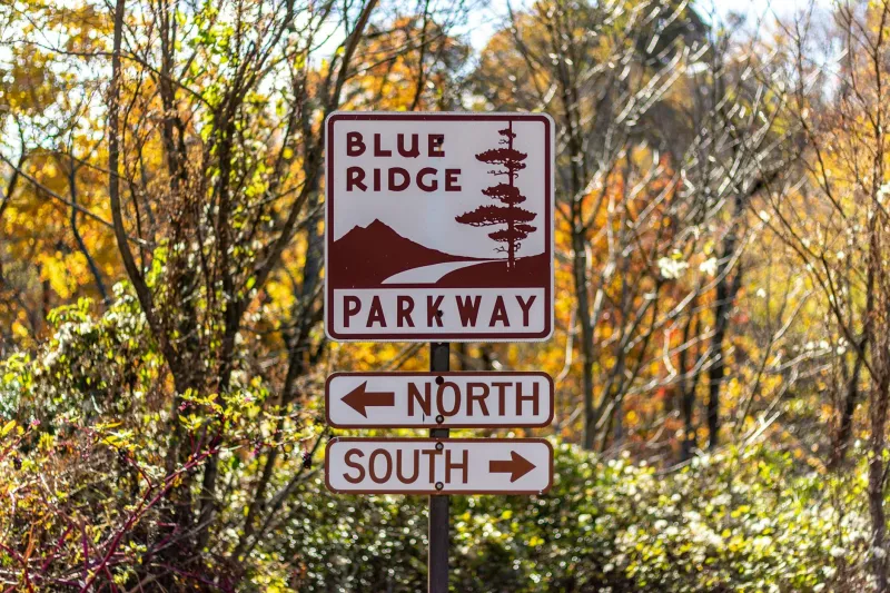
 Photo: Blue Ridge Parkway, via www.blueridgeparkway.org
Malaria shaped American geography more than gold rushes, railroad barons, or federal highway planners. And the evidence is still there, written in asphalt and stone across every mountain range east of the Rockies.
When Summer Meant Exodus
Before air conditioning, before mosquito control, before anyone knew that swamps bred disease, American families with means fled inland and upward every summer. Not for vacation — for survival. The pattern was so predictable that entire economies organized around it.
The grand hotels that still dot the Catskills, the Poconos, and the Appalachians weren't built for leisure travelers. They were refugee camps for the wealthy, temporary cities that swelled every June with families escaping the lowland fever zones. The Greenbrier in West Virginia, the Homestead in Virginia, the sprawling resort complexes of the North Georgia mountains — all of them started as fever refuges.
 Photo: The Greenbrier, via www.greenbrier.com
You can still see the infrastructure this created. Drive through any mountain valley in the eastern United States and notice how the roads are laid out. They don't follow the most direct routes or the easiest grades. They connect high-elevation settlements in patterns that make no sense until you understand they were designed to keep people above the invisible death line.
The Elevation Economy
The fascinating thing about malaria migration wasn't just that it happened — it was how quickly it created permanent infrastructure. Families who started by camping in mountain clearings soon built seasonal cabins. Seasonal cabins became year-round settlements. Year-round settlements demanded roads, and roads demanded maintenance, and maintenance required tax bases, and tax bases required permanent populations.
Within a generation, the summer fever flights had carved a parallel geography across American mountains. Towns like Highlands, North Carolina, or Mount Airy, Maryland, or the dozens of "Springs" settlements scattered across Virginia and Tennessee — these places exist because malaria made the lowlands uninhabitable for part of every year.
The roads that connect these settlements still follow the original fever routes. US Route 221 through the North Carolina mountains, State Route 311 across the Virginia Highlands, the network of county roads that web through the Arkansas Ozarks — they're all descendants of paths first worn by families fleeing summer sickness.
Architecture of Avoidance
You can read the fear of lowland fever in the architecture that survives from this era. Notice how the grand hotels of the mountain South are positioned. They're not just built on high ground — they're built on the highest practical ground, often with elaborate terracing to gain every possible foot of elevation.
The Mohonk Mountain House in New York's Shawangunk Mountains sits 1,200 feet above sea level not because the view is better there, but because 1,200 feet was safely above the fever line. The same logic shaped the Mountain Park Hotel in Hot Springs, Arkansas, the various "Grand" hotels scattered across the Blue Ridge, and hundreds of smaller establishments that once dotted every elevated valley in malaria country.
Even the surviving private homes from this era show the same pattern. The antebellum mansions that still grace mountain towns like Leesburg, Virginia, or Dahlonega, Georgia, aren't just summer houses — they're fever houses, built by families wealthy enough to maintain two residences rather than risk summer death in the lowlands.
The Science That Ended the Exodus
The great malaria migration lasted roughly from 1820 to 1920, ending not because people stopped getting sick but because they finally understood what was making them sick. Once mosquito control became possible, the summer exodus stopped. But the infrastructure it had created remained.
The mountain roads became scenic highways. The fever refuges became tourist destinations. The elevated settlements became retirement communities and second-home developments. The entire geography of American mountain leisure was built on the skeleton of malaria avoidance.
You can still trace this transformation in places like Asheville, North Carolina, which started as a tuberculosis treatment center and fever refuge before becoming a tourist destination. Or in the Arkansas Hot Springs, which began as a malaria escape route before the federal government turned it into a national park.
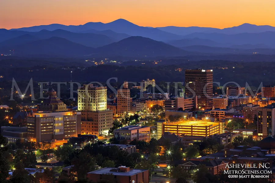 Photo: Asheville, North Carolina, via metroscenes.com
The Pattern That Keeps Repeating
The deeper lesson of the fever roads isn't about malaria — it's about how invisible threats shape visible infrastructure in ways that outlast the threats themselves. The mountain highway system that Americans built to escape disease fear became the foundation for an entirely different economy based on mountain recreation.
The same pattern repeats throughout American history. We build infrastructure to solve immediate problems, and that infrastructure creates new possibilities we never anticipated. The Interstate Highway System was built for military defense and became the backbone of suburban development. The Internet was built for academic research and became the foundation of the modern economy.
The fever roads are still there, carrying traffic that has nothing to do with disease avoidance. Drive the mountain highways of Virginia or North Carolina or Arkansas, and you're following routes carved by people who understood something we've forgotten: that the landscape itself can be medicine or poison, depending on what invisible forces you're trying to avoid.
Where the Old Fear Lives On
Today, malaria is a footnote in American medical history. But the infrastructure built to escape it still shapes how we move through the landscape. The Blue Ridge Parkway, Skyline Drive, the network of scenic byways that connect mountain towns from Georgia to Maine — they're all descendants of fever roads.
And in a few places, you can still see how the old system worked. Drive through the mountain counties of western North Carolina in late spring, when the tourist season is just beginning, and notice how many of the old hotels and boarding houses still open for "the season." The timing isn't about tourist demand anymore — it's institutional memory, the ghost of a migration pattern that once meant the difference between life and death.